
blah blah blah
Grafton Pond
Length: 0.6 miles out-and-backDifficulty (click for info): Beginner
Elevation Gain: 0 feet (+40 feet on return)
Rating (click for info): 7/10
Elevation: 1239'
Driving Directions:
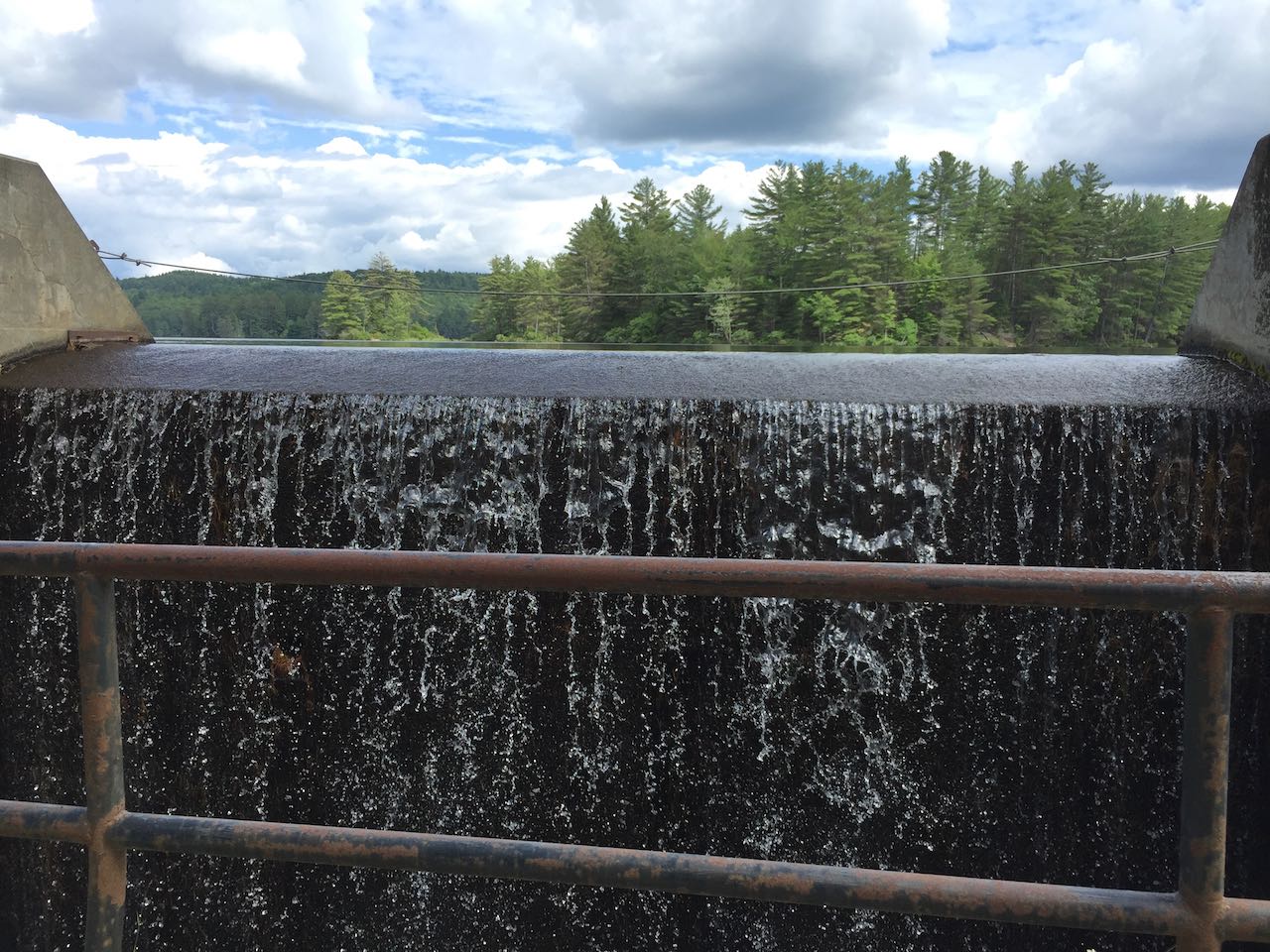
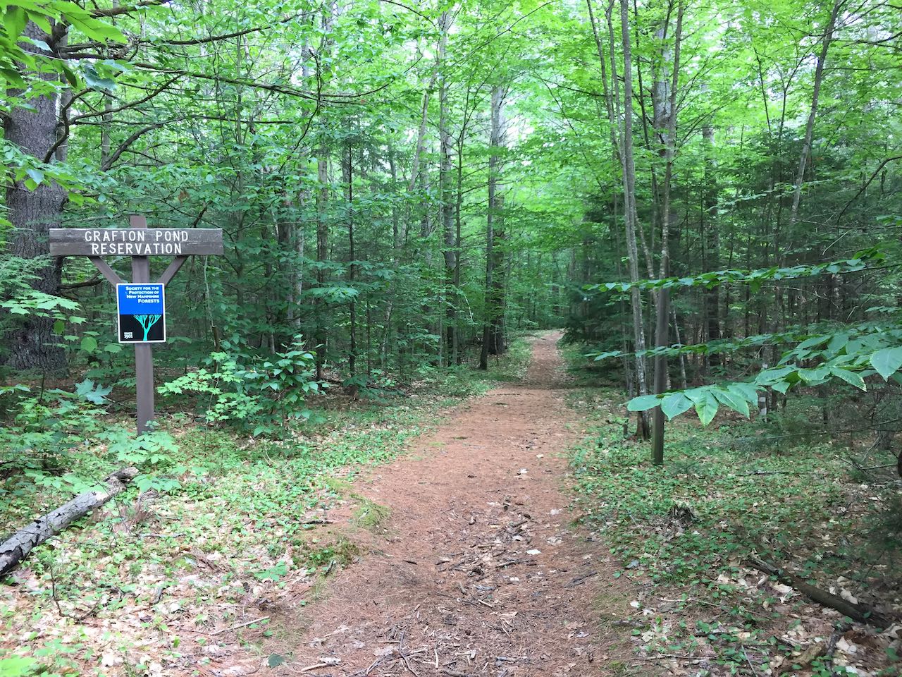
Trailhead and parking area are on Grafton Pond Road in Grafton, NH. Grafton Pond Road begins on the east side of Rt. 4A, 8.5 miles southeast of its northern terminus at Rt. 4 and 15.4 miles northwest of its southern terminus at Rt. 11. Drive 1.8 miles down this road and turn right at the T-intersection. Continue 0.4 miles, passing the dam and boat launch, and park on the roadside near the gated trailhead on the left. Click here for a Google map.
Trail map
About the Hike:
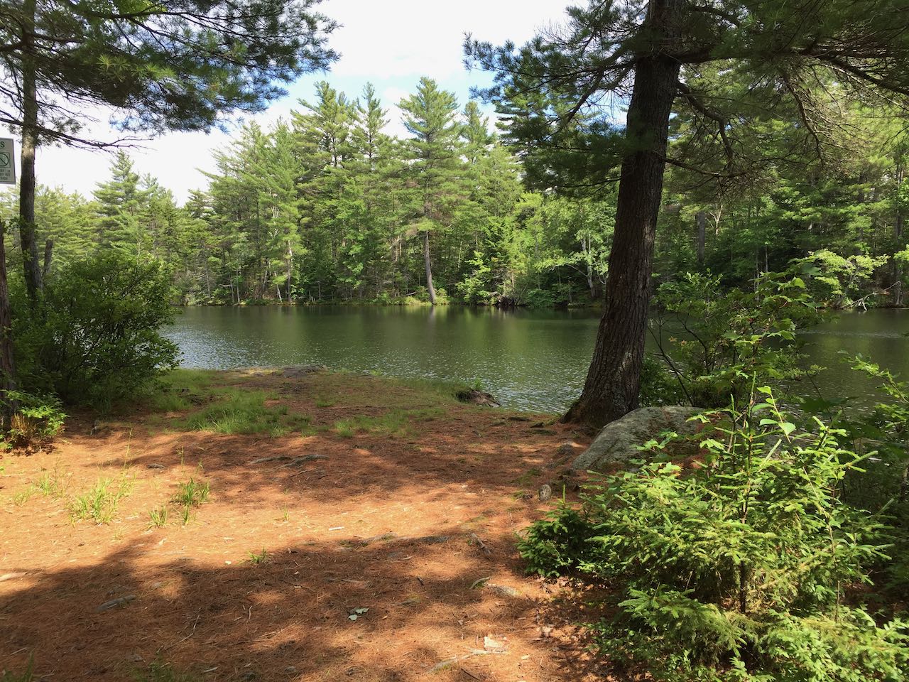
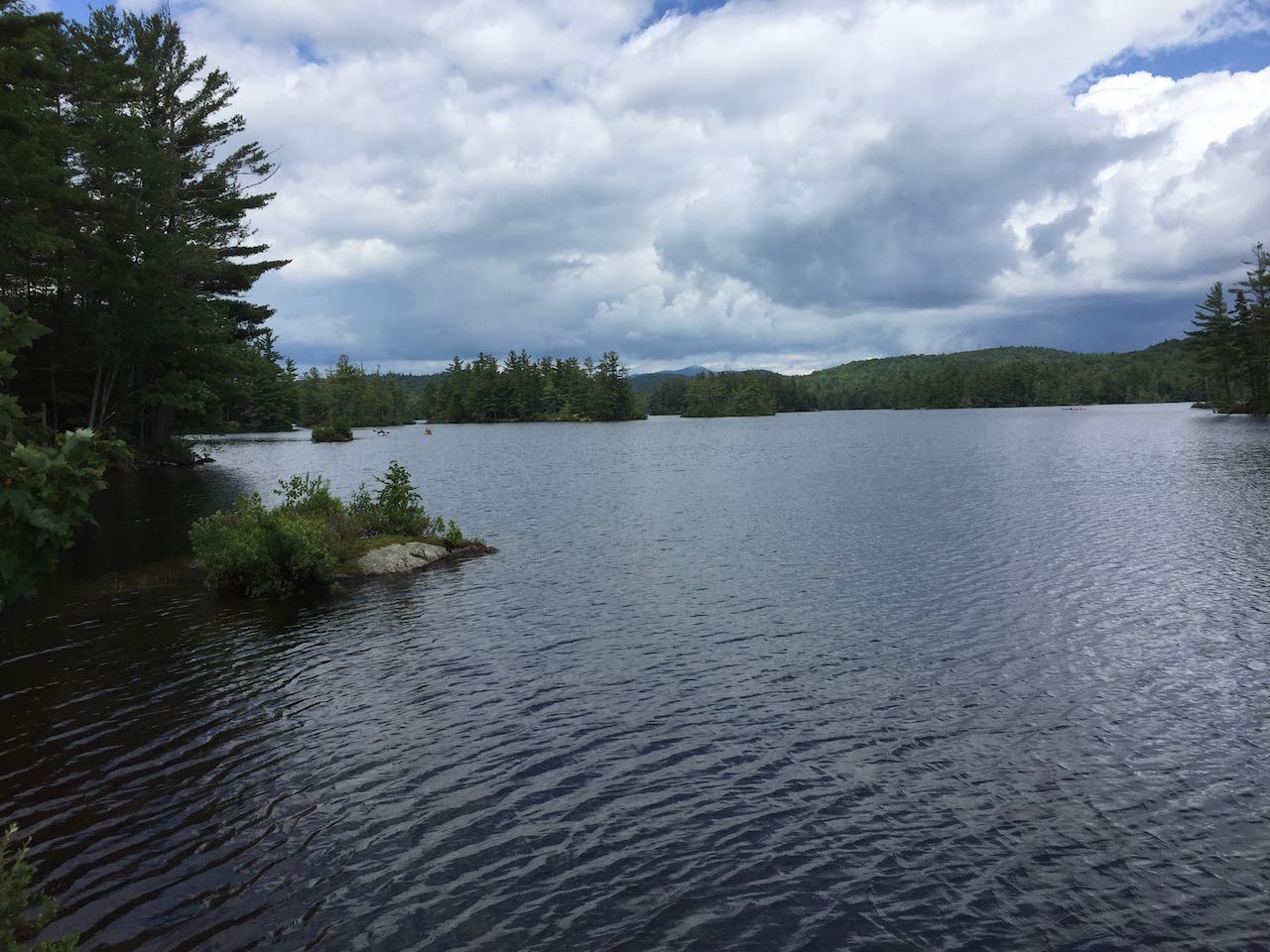
With almost all of its shoreline within conservation land (a parcel on the northwest by the Grafton Pond Land Trust and the rest by the Forest Society), Grafton Pond is among our state's largest undeveloped waterbodies. Save for the state-owned dam and two houses on the western shore, the lake is surrounded by nothing but forest. Its untouched and wild character, many forested islands, and propensity for loon sightings make it a popular destination for kayakers. For those who want to enjoy it from land, a 0.3-mile trail leads from the gated trailhead across mostly level ground and out to a grassy point at the water's edge, where you have a scenic view over the lake toward Mt. Cardigan in the distance.
Printable directions page